

Study Reach.--Section 1 is about 1,800 ft upstream from gage.
Gage Location.--Lat 32°48', long 83°46', on right bank at downstream end of pier of bridge on U.S. Highway 80, 8 miles west of Macon, Bibb County, and 14 miles upstream from mouth.
Drainage Area.--182 sq mi.
Gage Datum and Elevations of Reference Points.--Not available.
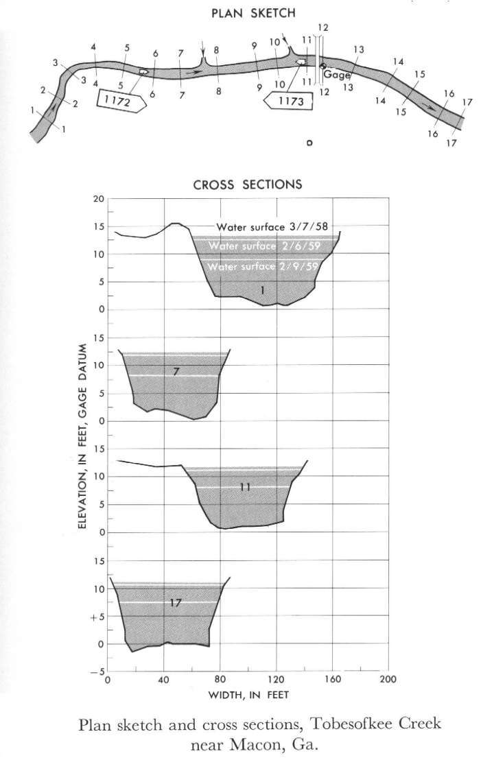
Stage, Discharge Measurements and Computed n-Values.--Gage heights were 1.84 ft, 11.03 ft, 7.55 ft at gage; 13.31 ft,12.51 ft, 9.02 ft at section 1. Peak discharges were 2,540 cfs, 2,240 cfs and 1,260 cfs. on Mar. 7, 1958, Feb. 6, 1959 and Feb. 9, 1959 respectively.
| Date of Observation | Discharge (ft3/s) | Average Cross Section Area (ft2) | Hydraulic Radius (ft) | Mean Velocity (ft/s) | Slope | Coefficient of Roughness n |
|---|---|---|---|---|---|---|
| 3/7/1958 | 1267.8 | 424.0 | 5.53 | 2.99 | 0.000729 | 0.043 |
| 2/6/1959 | 2251.1 | 676.0 | 7.55 | 3.33 | 0.000707 | 0.041 |
| 2/9/1959 | 2544.9 | 739.8 | 7.90 | 3.44 | 0.000771 | 0.039 |
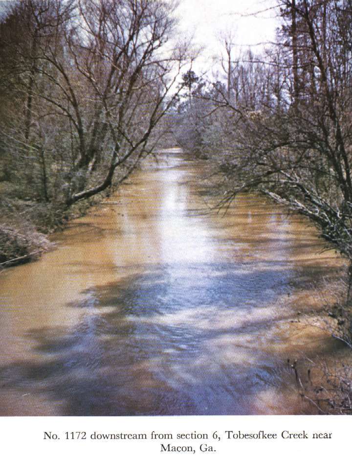
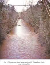
Description of Channel.--Bed consists of sand, gravel, and a few outcrops. Banks are fairly uniform with overhanging trees and underbrush.

![]() U.S. Department of the Interior |
U.S. Geological Survey
U.S. Department of the Interior |
U.S. Geological Survey
URL: http://il.water.usgs.gov/proj/nvalues/db_barnes/sites/02213500.shtml[an error occurred while processing this directive]?
Page Contact Information: David Soong
Page Last Modified: December 19, 2012
