

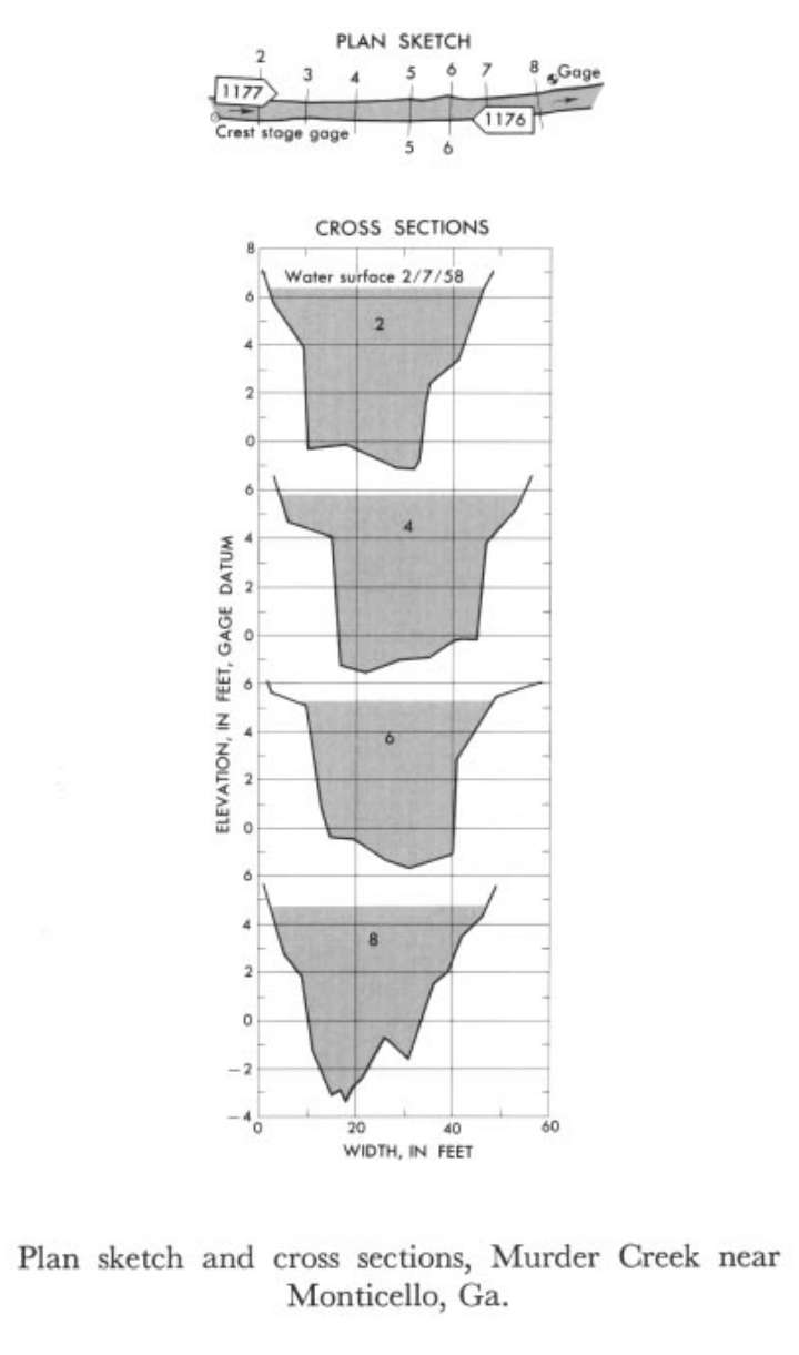
Study Reach.--Section 2 is about 630 ft upstream from gage.
Gage Location.--Lat 33°25', long 83°40', on left bank 350 ft upstream from bridge on State Highway 229, 0.75 mile upstream from Pittman Creek, 1.75 miles downstream from confluence of Robinson and Sheppard Creeks, and 8 miles north of Monticello, Jasper County.
Drainage Area.--24 sq mi., approximately.
Gage Datum and Elevations of Reference Points.--Not available.
Stage, Discharge Measurements and Computed n-Values.--Gage heights were 4.68 ft at gage; 6.32 ft at section 2. Peak discharges was 840 cfs on Feb. 7, 1958.
| Date of Observation | Discharge (ft3/s) | Average Cross Section Area (ft2) | Hydraulic Radius (ft) | Mean Velocity (ft/s) | Slope | Coefficient of Roughness n |
|---|---|---|---|---|---|---|
| 2/7/1958 | 848.7 | 205.9 | 3.97 | 4.12 | 0.002674 | 0.045 |
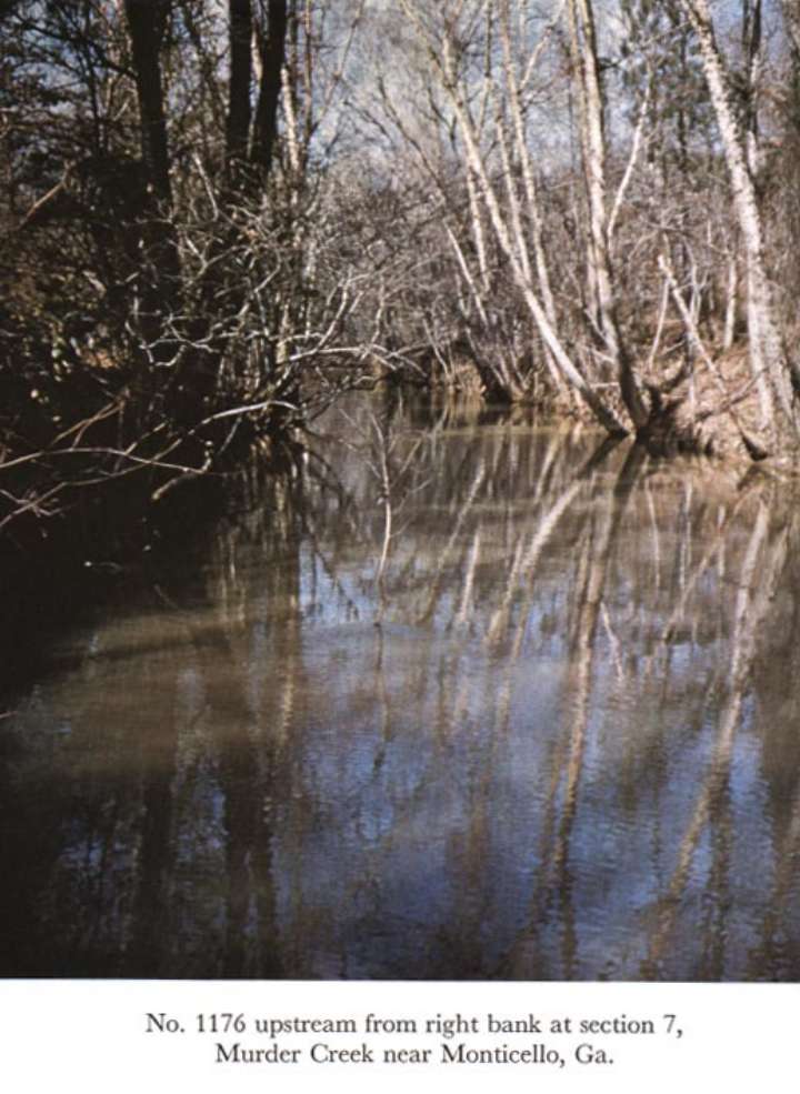
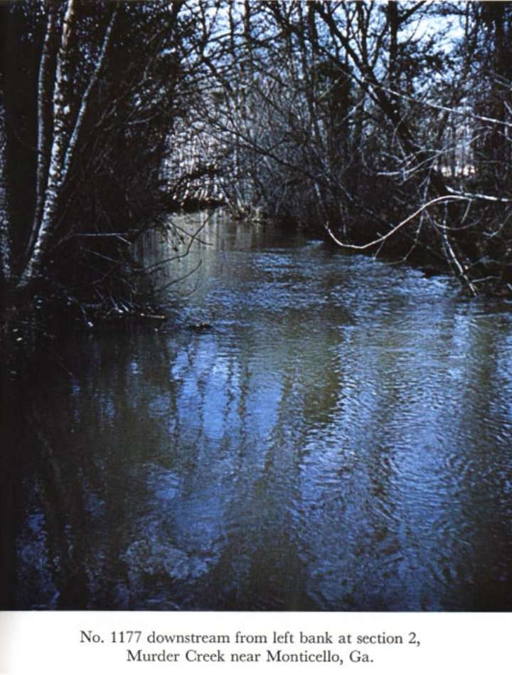
Description of Channel.--Bed consists of sand and gravel. Both banks are lined with trees above low waterline.

![]() U.S. Department of the Interior |
U.S. Geological Survey
U.S. Department of the Interior |
U.S. Geological Survey
URL: http://il.water.usgs.gov/proj/nvalues/db_barnes/sites/02221000.shtml[an error occurred while processing this directive]?
Page Contact Information: David Soong
Page Last Modified: December 19, 2012
