

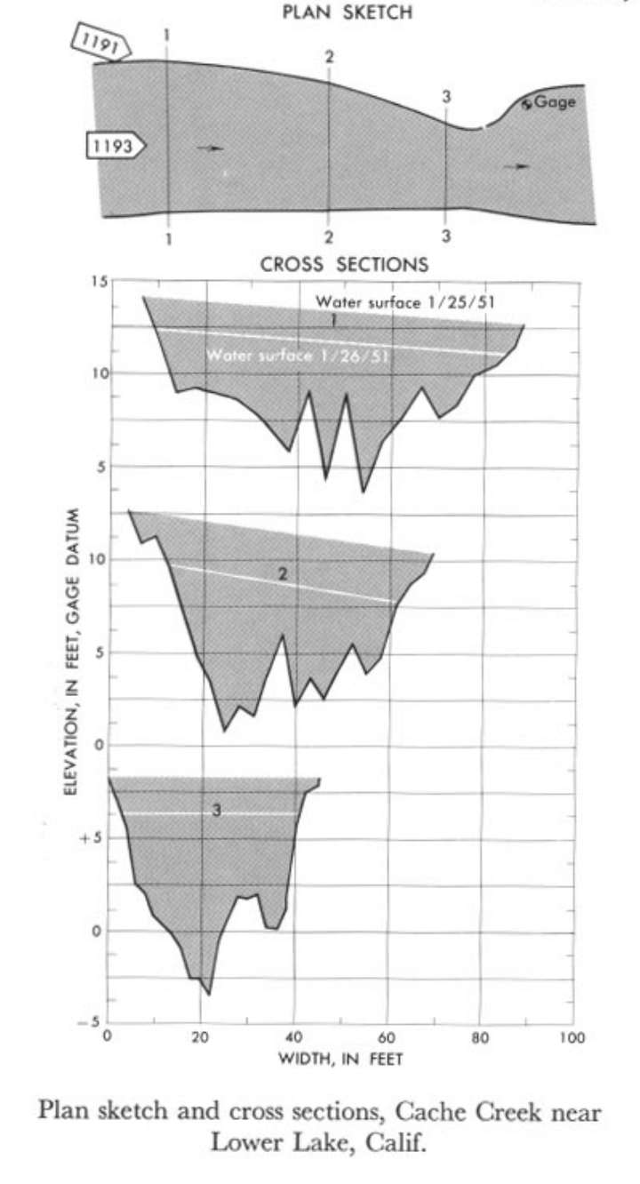
Study Reach.--Section 1 is 350 ft upstream from gage.
Gage Location.--Lat 38°55'27", long 122°33'53", in sec.6, T.12 N., R.6W., on left bank 500 ft downstream from Clear Lake Dam, 1.9 miles downstream from Copsey Creek, and 2.5 miles northeast of Lower Lake.
Drainage Area.--528 sq mi.
Gage Datum and Elevations of Reference Points.--Not available.
Stage, Discharge Measurements and Computed n-Values.--Gage heights were 7.80 ft, 6.30 ft at gage; 13.35 ft, 11.70 ft at sec tion 1. Peak discharges were 3,840 cfs, 1,830 cfs on Jan. 24-25, 1951.
| Date of Observation | Discharge (ft3/s) | Average Cross Section Area (ft2) | Hydraulic Radius (ft) | Mean Velocity (ft/s) | Slope | Coefficient of Roughness n |
|---|---|---|---|---|---|---|
| 1/24/1951 | 1848.5 | 239.3 | 3.81 | 7.72 | 0.032317 | 0.079 |
| 1/25/1951 | 3913.2 | 360.0 | 4.85 | 10.87 | 0.029878 | 0.053 |
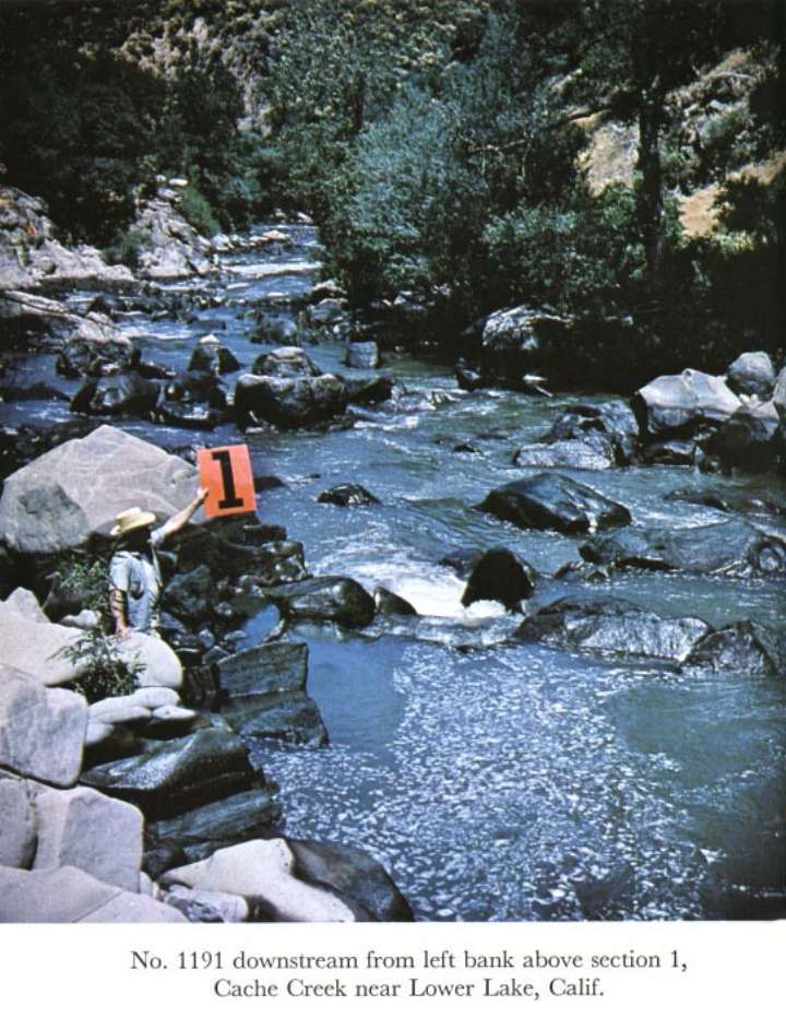
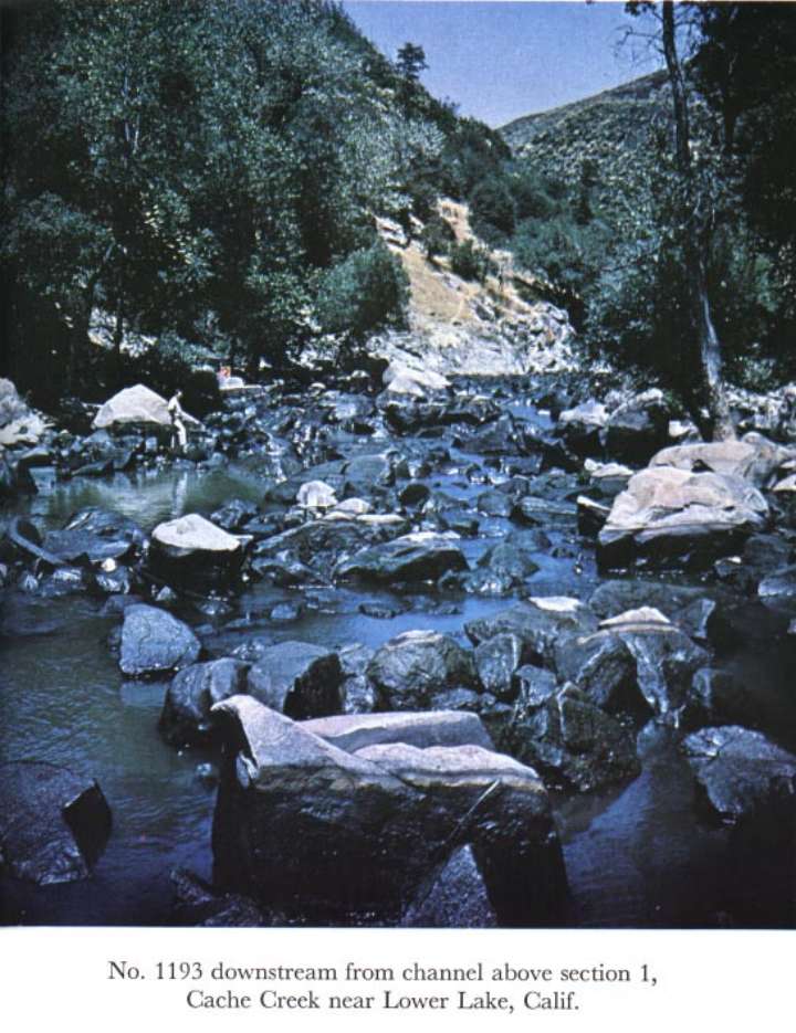
Description of Channel.--Bed is composed of large angular boul ders. Banks consist of exposed rock, boulders, and some trees.

![]() U.S. Department of the Interior |
U.S. Geological Survey
U.S. Department of the Interior |
U.S. Geological Survey
URL: http://il.water.usgs.gov/proj/nvalues/db_barnes/sites/11451000.shtml[an error occurred while processing this directive]?
Page Contact Information: David Soong
Page Last Modified: December 19, 2012
