

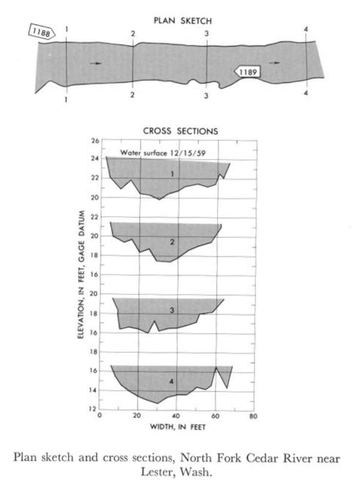
Study Reach.--Section 1 is about 700 ft upstream from gage.
Gage Location.--Lat 47°19'10", long 121°30'05", in SW1/4 sec.11, T.21N., R.10E., on left bank 120 ft downstream from falls, 1.5 miles upstream from confluence with South Fork, and 7.5 miles north of Lester.
Drainage Area.--8.81 sq mi.
Gage Datum and Elevations of Reference Points.--Not available.
Stage, Discharge Measurements and Computed n-Values.--Gage heights were 3.85 ft at gage; 24.88 ft (different datum) at section 1. Peak discharges was 996 cfs on Dec. 15, 1959.
| Date of Observation | Discharge (ft3/s) | Average Cross Section Area (ft2) | Hydraulic Radius (ft) | Mean Velocity (ft/s) | Slope | Coefficient of Roughness n |
|---|---|---|---|---|---|---|
| 12/15/1959 | 1000.9 | 157.3 | 2.49 | 6.37 | 0.023718 | 0.059 |
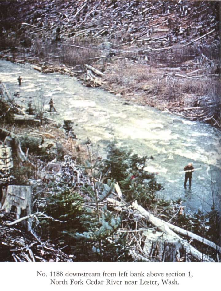
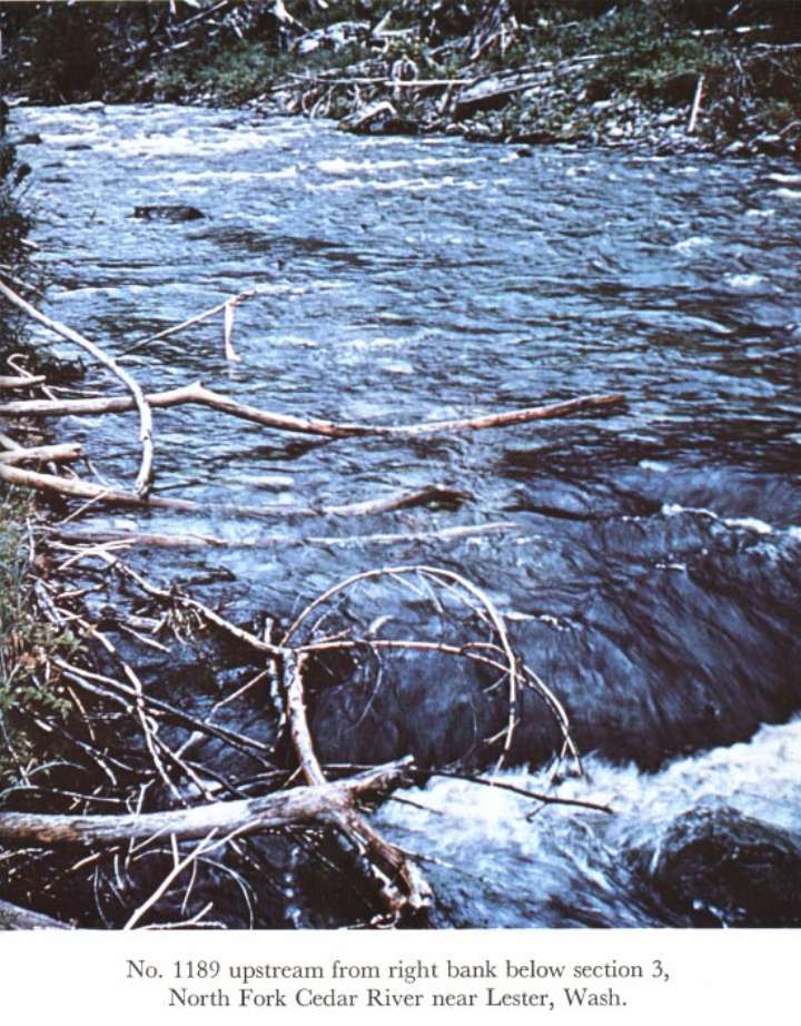
Description of Channel.--Bed is large boulders. Banks are irregular and lined with brush, tree stumps, and roots.

![]() U.S. Department of the Interior |
U.S. Geological Survey
U.S. Department of the Interior |
U.S. Geological Survey
URL: http://il.water.usgs.gov/proj/nvalues/db_barnes/sites/12113500.shtml[an error occurred while processing this directive]?
Page Contact Information: David Soong
Page Last Modified: December 19, 2012
