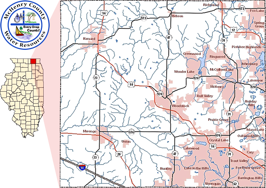
McHenry County, Illinois has current and long-term issues with water resources such as drinking water provision and stormwater management. These issues must also be balanced with the need for preserving McHenry County's rich and diverse ecological lands.
In the effort to supply and present timely data to assist in determining the hydrologic conditions of the area, the U.S. Geological Survey (USGS) Illinois Water Science Center, Illinois State Geological Survey (ISGS), and Illinois State Water Survey (ISWS) present a near real-time data network of groundwater wells, stream gages, and rain gages, in addition to other relevant information such as water-quality data for many of these sites.
All available groundwater, surface-water, and rain gage data described above are available through this website.
If you have questions or suggestions, please feel free to email the USGS Illinois Water Science Center at dc_il@usgs.gov or phone 217-328-8747(USGS).
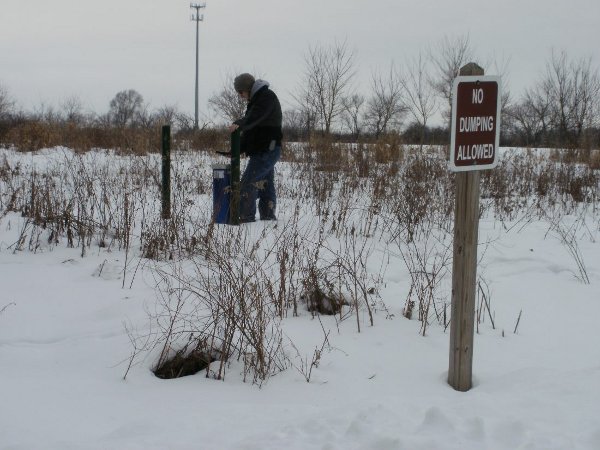
The groundwater wells are all screened in glacial deposits and have well depths ranging from 20 to 345 feet. These wells have multiple owners, including those owned by the McHenry County, the Illinois State Geological Survey (ISGS) and the USGS. Data are collected at 15 minute intervals and transmitted on an hourly basis for 43 real-time sites. The Illinois State Water Survey (ISWS) is developing a groundwater-flow model of the shallow glacial deposits to assist the county with future groundwater resource management decisions. Periodic measurements of groundwater levels are obtained at varying intervals for the non-real-time wells.
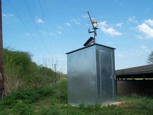
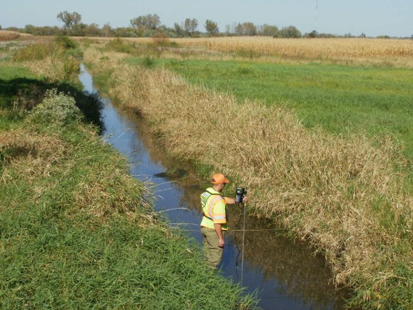
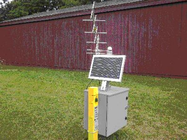
The USGS has several real-time streamgages on the Fox River and Nippersink Creek, with new gages on the Kishwaukee River at Marengo and Franklinville Creek at Franklinville. Real-time data is collected at 15 minute intervals and transmitted on an hourly basis. Discharge and stage height data are collected at other surface-water sites on occasional intervals.
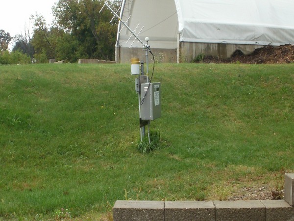
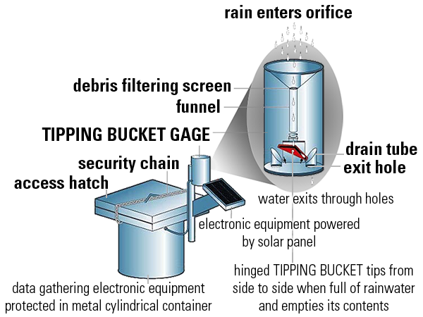
The USGS and McHenry County rain gage data are collected on 5 or 15 minute intervals, with real-time transmissions on an hourly basis.
Topography of the Bedrock Surface in McHenry County, Illinois
Quaternary Geologic Map of the Marengo North Quadrangle
Quaternary Geologic Map of the McHenry Quadrangle
McHenry County Conservation District Mission & History
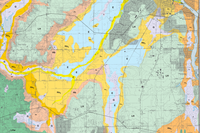
Hackmatack Study Area - Conservation Areas
Fish and Wildlife Service Division of Conservation Planning Hackmatack National Wildlife Refuge

![]() U.S. Department of the Interior |
U.S. Geological Survey
U.S. Department of the Interior |
U.S. Geological Survey
URL: http://il.water.usgs.gov/data/mchenry/
Page Contact Information: GS-W-ILurb_Webmaster@usgs.gov
Page Designed By: daniella birch
Page Last Modified:Monday, 23-Feb-2015 10:39:01 CST
