

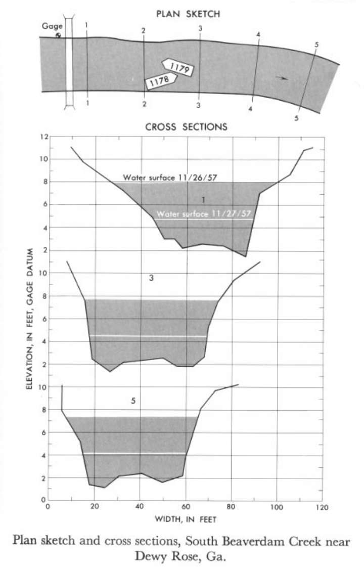
Study Reach.--Section 1 is about 100 ft downstream from gage.
Gage Location.--Lat 34°11', long 82°57', on left bank 50 ft up stream from highway bridge, 1 mile northeast of Dewy Rose, Elbert County, and 3 miles upstream from confluence with North Beaverdam Creek.
Drainage Area.--35.8 sq mi.
Gage Datum and Elevations of Reference Points.--Not available.
Stage, Discharge Measurements and Computed n-Values.--Gage heights were 8.02 ft, 4.86 ft at gage; 7.83 ft, 4.64 ft at section 1. Peak discharges were 820 cfs and 221 cfs on
| Date of Observation | Discharge (ft3/s) | Average Cross Section Area (ft2) | Hydraulic Radius (ft) | Mean Velocity (ft/s) | Slope | Coefficient of Roughness n |
|---|---|---|---|---|---|---|
| 11/27/1957 | 224.0 | 107.2 | 2.15 | 2.09 | 0.001525 | 0.047 |
| 11/26/1957 | 821.2 | 275.0 | 4.29 | 2.99 | 0.001596 | 0.052 |
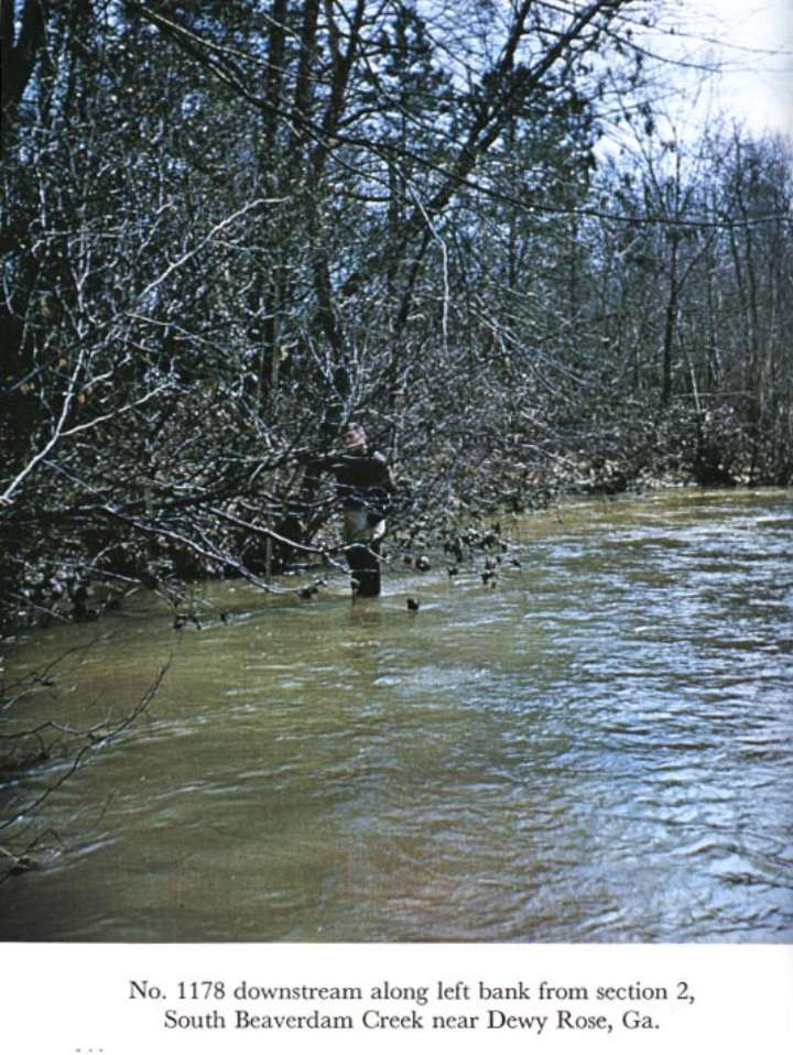
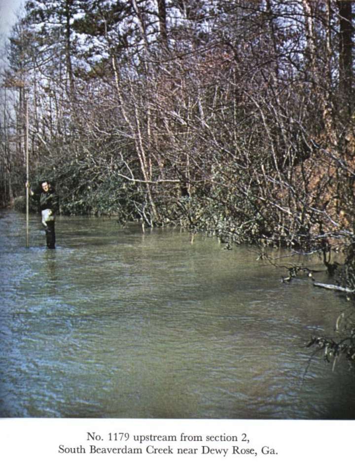
Description of Channel.--Bed consists of sand about 1 ft deep over clay and rock. Banks are irregular with trees and bushes growing down to the low waterline.

![]() U.S. Department of the Interior |
U.S. Geological Survey
U.S. Department of the Interior |
U.S. Geological Survey
URL: http://il.water.usgs.gov/proj/nvalues/db_barnes/sites/02188500.shtml[an error occurred while processing this directive]?
Page Contact Information: David Soong
Page Last Modified: December 19, 2012
