

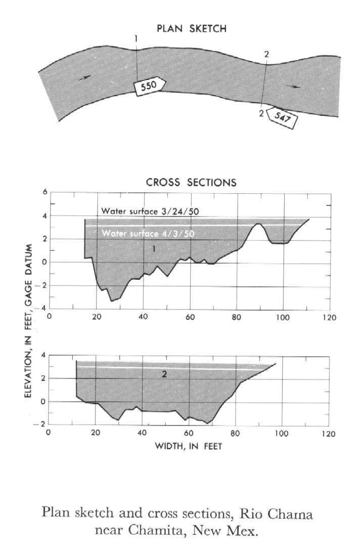
Study Reach.--Section 1 is about 200 ft upstream from gage.
Gage Location.--Lat 36°04'25", long 106°06'39", in NE1/4 NE1/4 sec.8, T.21N., R.8E., on left bank 200 ft downstream from bridge on U.S. Highway 285,0.5 mile west of Chamita, 2.5 miles northwest of San Juan Pueblo, and 3 miles upstream from mouth.
Drainage Area.--3,140 sq mi.
Gage Datum and Elevations of Reference Points.--Not available.
Stage, Discharge Measurements and Computed n-Values.--Gage heights were 3.41 ft, 2.95 ft at gage; 3.65 ft, 3.18 ft at section 1. Peak discharges were 1,060 cfs and 684 cfs.on Mar. 24 and Apr. 3, 1950 respectively.
| Date of Observation | Discharge (ft3/s) | Average Cross Section Area (ft2) | Hydraulic Radius (ft) | Mean Velocity (ft/s) | Slope | Coefficient of Roughness n |
|---|---|---|---|---|---|---|
| 3/24/1950 | 684.9 | 242.0 | 2.74 | 2.83 | 0.001139 | 0.036 |
| 3/24/1950 | 1062.7 | 304.5 | 3.29 | 3.49 | 0.001188 | 0.032 |
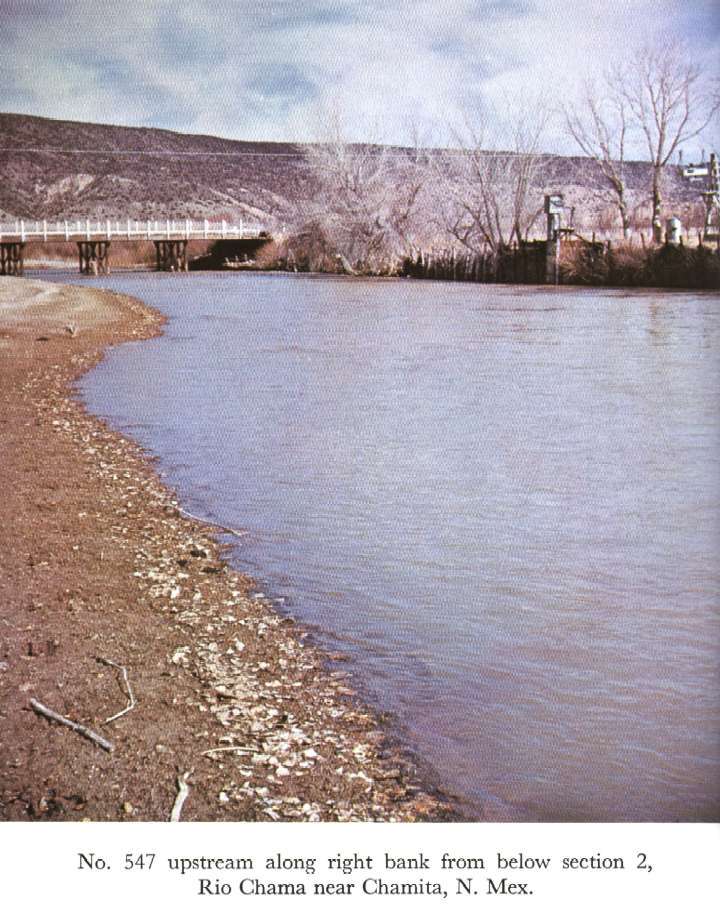

Description of Channel.--The bed consists of sand and gravel. The left bank is rock and the right bank is mostly gravel.

![]() U.S. Department of the Interior |
U.S. Geological Survey
U.S. Department of the Interior |
U.S. Geological Survey
URL: http://il.water.usgs.gov/proj/nvalues/db_barnes/sites/08290000.shtml[an error occurred while processing this directive]?
Page Contact Information: David Soong
Page Last Modified: December 19, 2012
