

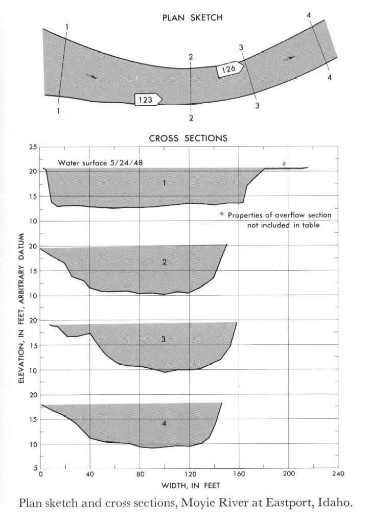
Study Reach.--Section 1 is about 0.5 mile downstream from gage.
Gage Location.--Lat 49°00', long 116°11', in SE1/4 sec.10, T.65N., R.2E., on left bank at Eastport, 1,000 ft downstream from international boundary.
Drainage Area.--570 sq mi., approximately.
Gage Datum and Elevations of Reference Points.--Not available.
Stage, Discharge Measurements and Computed n-Values.--Gage heights were 10.25 ft at gage; 20.68 ft (different datum) at section 1. Peak discharges was 8,030 cfs on May 24, 1948.
| Date of Observation | Discharge (ft3/s) | Average Cross Section Area (ft2) | Hydraulic Radius (ft) | Mean Velocity (ft/s) | Slope | Coefficient of Roughness n |
|---|---|---|---|---|---|---|
| 5/24/1948 | 8145.2 | 1044.3 | 6.93 | 7.80 | 0.003647 | 0.038 |
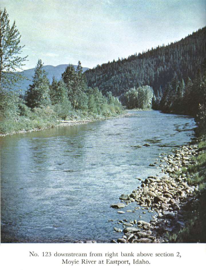
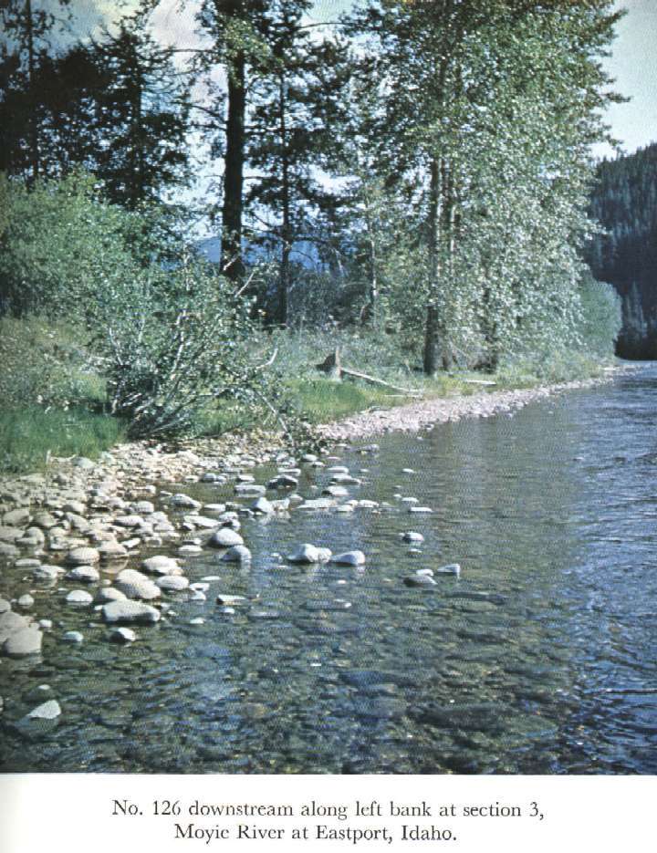
Description of Channel.--Bed of gravel and well-rounded small boulders. Right bank is fairly steep and lined with trees and brush. Left bank slopes gently and has tree and brush cover below section 2.

![]() U.S. Department of the Interior |
U.S. Geological Survey
U.S. Department of the Interior |
U.S. Geological Survey
URL: http://il.water.usgs.gov/proj/nvalues/db_barnes/sites/12306500.shtml[an error occurred while processing this directive]?
Page Contact Information: David Soong
Page Last Modified: December 19, 2012
