

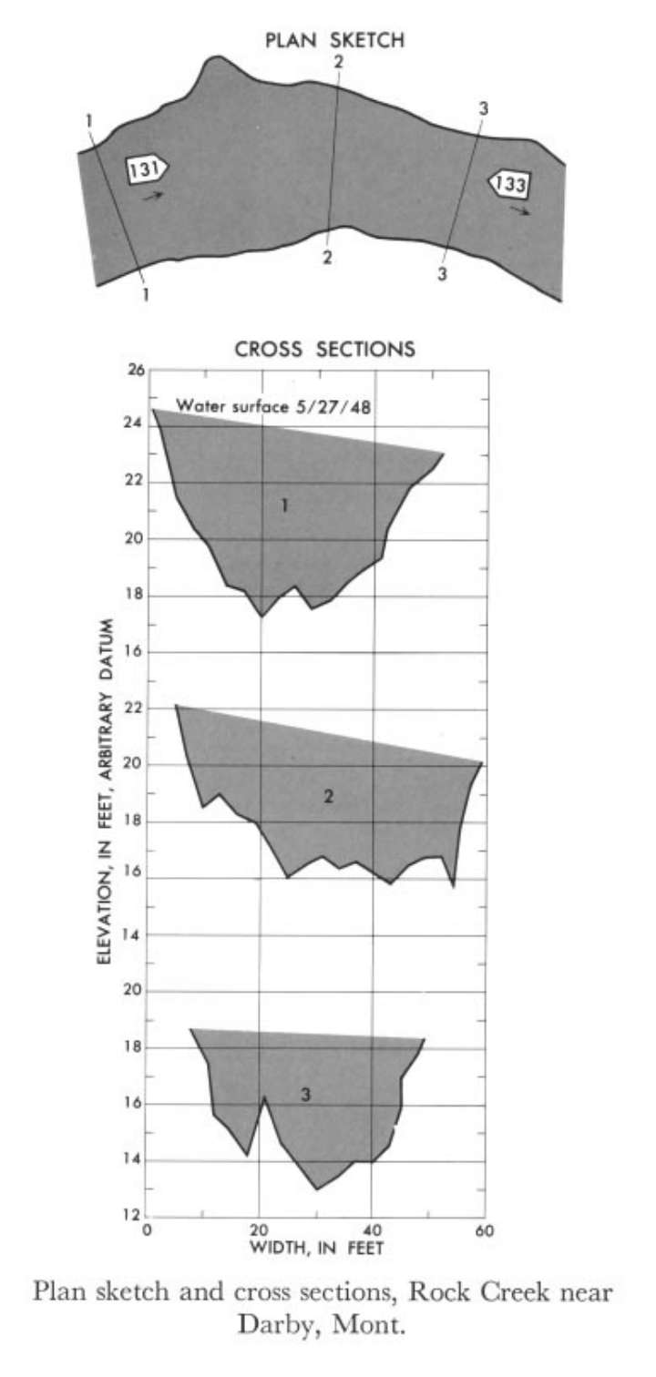
Study Reach.--Section 1 is about 0.25 mile upstream from gage.
Gage Location.--Lat 46°04'10", long 114°13'20", in SE1/4 SE1/4 sec.29, T.4N., R.21W., on left bank 0.6 mile down stream from Como Lake, 0.7 mile upstream from Rock Creek Canal, and 4 miles northwest of Darby.
Drainage Area.--55.4 sq mi.
Gage Datum and Elevations of Reference Points.--Not available.
Stage, Discharge Measurements and Computed n-Values.--Gage heights were 5.78 ft at gage; 23.85 ft at section 1. Peak discharges was 1,500 cfs. on May 27, 1948.
| Date of Observation | Discharge (ft3/s) | Average Cross Section Area (ft2) | Hydraulic Radius (ft) | Mean Velocity (ft/s) | Slope | Coefficient of Roughness n |
|---|---|---|---|---|---|---|
| 5/27/1948 | 1566.7 | 183.7 | 3.46 | 8.53 | 0.040476 | 0.075 |
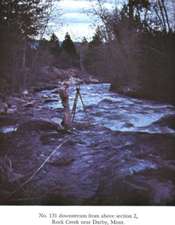
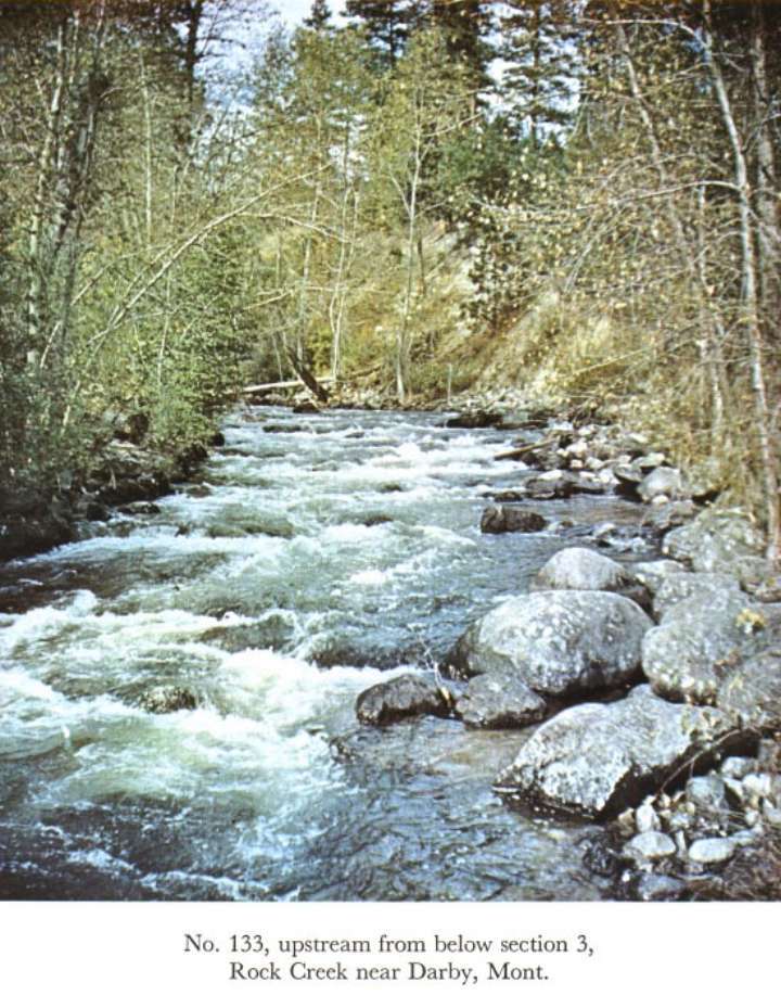
Description of Channel.--Bed consists of boulders; d50 = 220 mm, d84 = 415 mm. Banks are composed of boulders and have trees and brush.

![]() U.S. Department of the Interior |
U.S. Geological Survey
U.S. Department of the Interior |
U.S. Geological Survey
URL: http://il.water.usgs.gov/proj/nvalues/db_barnes/sites/12345000.shtml[an error occurred while processing this directive]?
Page Contact Information: David Soong
Page Last Modified: December 19, 2012
